Services
Smart Mobility
Smart Mobility packages connect citizens with businesses and local governments to lead the digital transformation trend.
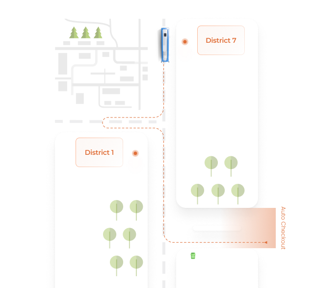


bSmartETA
Displays real-time bus station information and helps vehicle users track the vehicle's location in the most convenient way.
bSmartNavigation
The intelligent navigation algorithm helps citizens and public transport drivers to move on the most reasonable and safe path.

bSmartLED
Displays real-time bus station information and helps vehicle users track the vehicle's location in the most convenient way.
bGPS
Professional vehicle management that improves the quality of the mobility journey of the vehicle system.

Traffic Map
Traffic map supports vehicle system lookup and optimize mobility journey.

Mobile App
A convenient tool to help citizens approach official information and quickly connect with local authorities.
Web App
The web version application that helps residents approach information and connect quickly via the link without any installment.



AI Face ID
Advanced Face ID technology helps identify faces and actions accurately, and send reports to managers quickly.

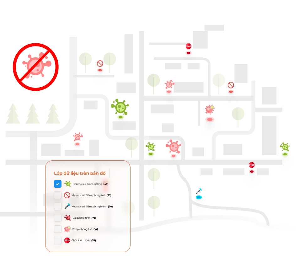
Covid Maps
Digitize city epidemiological information in the form of a visual interactive map.

bHub
Count the number of people who are present in a specific area such as public transport or workplace.

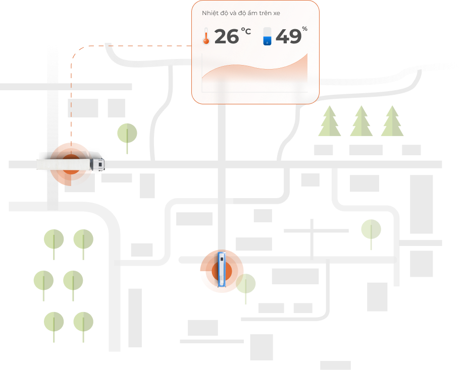
bSmartXWEB
Monitor temperature and humidity in cold storage and send alarms to a management system.

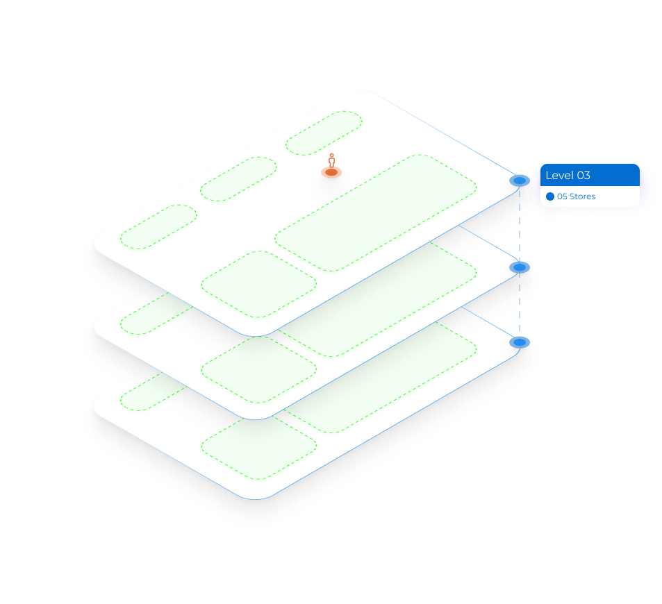
Indoor Map
Support moving inside large industrial areas or commercial centers with a complex floor structures.


0%